


Solomon Precinct 2, Norton County, Kansas
About
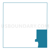
Outline

Summary
| Unique Area Identifier | 586151 |
| Name | Solomon Precinct 2 |
| County | Norton County |
| State | Kansas |
| Area (square miles) | 80.97 |
| Land Area (square miles) | 80.93 |
| Water Area (square miles) | 0.05 |
| % of Land Area | 99.94 |
| % of Water Area | 0.06 |
| Latitude of the Internal Point | 39.65745920 |
| Longtitude of the Internal Point | -99.68854920 |
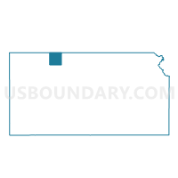
Maps

Graphs
Select a template below for downloading or customizing gragh for Solomon Precinct 2, Norton County, Kansas


Neighbors
Neighoring Voting District (by Name) Neighboring Voting District on the Map
- Almena Township Voting District, Norton County, KS
- Beaver Township Voting District, Phillips County, KS
- Graham Township Voting District, Graham County, KS
- Logan Township Voting District, Phillips County, KS
- Pioneer Township Voting District, Graham County, KS
- Solomon Precinct 1, Norton County, KS
- Towanda Township Voting District, Phillips County, KS
Top 10 Neighboring County Subdivision (by Population) Neighboring County Subdivision on the Map
- Logan township, Phillips County, KS (637)
- Almena-District 4 township, Norton County, KS (566)
- Solomon-District 3 township, Norton County, KS (180)
- Beaver township, Phillips County, KS (55)
- Graham township, Graham County, KS (54)
- Pioneer township, Graham County, KS (34)
- Towanda township, Phillips County, KS (22)
Top 10 Neighboring Unified School District (by Population) Neighboring Unified School District on the Map
- Norton Community Schools Unified School District 211, KS (4,473)
- Logan Unified School District 326, KS (1,036)
- Northern Valley Unified School District 212, KS (897)
- West Solomon Valley Schools Unified School District 213, KS (525)
Top 10 Neighboring State Legislative District Lower Chamber (by Population) Neighboring State Legislative District Lower Chamber on the Map
Top 10 Neighboring State Legislative District Upper Chamber (by Population) Neighboring State Legislative District Upper Chamber on the Map
Top 10 Neighboring 111th Congressional District (by Population) Neighboring 111th Congressional District on the Map
Top 10 Neighboring Census Tract (by Population) Neighboring Census Tract on the Map
- Census Tract 9517, Norton County, KS (5,671)
- Census Tract 4752, Phillips County, KS (1,555)
- Census Tract 9521, Graham County, KS (996)